
Topographical Survey
The survey including features such as buildings, Structures, Features and fences, the slope of the land, Ground Level building heights, road features and any utility services.

Building Survey
Every Structure such us Earthwork limit, Footing, Column, Beam, Slab layout , Grid lines, Boundary Walls, And other features to the entire project will marked.
Industrial Survey
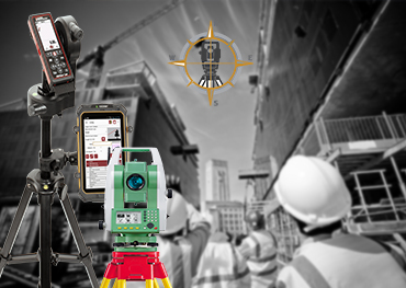
In the structural steel work, manufactured parts built to fit together, or mapping of parts to be replaced.

Highway Survey
Location of the highway alignment is done after carrying out a survey of the area by DGPS, Total Station and auto Level.
Land Developement Survey
The survey of the land with cut / Fill for Drain work , Road work, and for the other structures of the project.
Boundary Survey
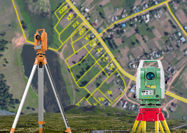
Determining the location of legal land ownership lines may minimize real estate transactional risk. We will mark your boundary with precisely.
Pile / Foundation Survey
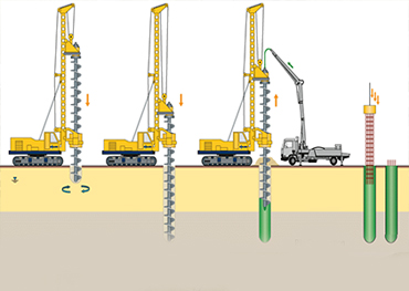
The location of every pile, Diagprahm Walls, Sheet Piles to marked and ensure by our survey team.
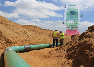
Pipe Line Survey
The Geographical location and elevation for the route of lenthier pipeline project shall be marked by surveyors Asper the design.

Street Layout Design
It's includes, The survey that helps to makes up streets, from sidewalks to road edges, Street lights, Structure's Location, etc..

Contour Survey
Slopes matching the same height are joined using imaginary lines that are known as contours. Contour map highlights details of the existing land condition.
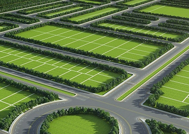
Area Plotting
The survey and Marking for the area of the owner and Subdivision , parcial to be made as required by Land Owner. For real estate it will be done.
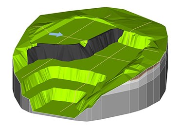
Volume Calculations
Estimation of earth moving work (Filling & Cutting) is very essential data for estimating soil filling / cutting after & before earth moving work has been executed.
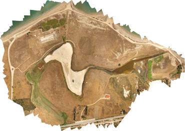
Settlement Survey
It's for heavy building structures and construction elements. Through their heavy weight or through vibrations the foundation earth can be deformed over time which may cause structures to sink.

Tunnel Survey
Alignment of center line of the tunnel accurately by precise Equipment. And the Levels to be maintained by ensuring the Control Points.
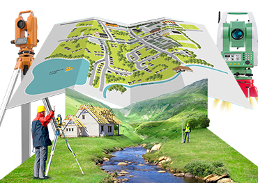
FMB Survey/ Refixing
The location of Land to Marked or checked by More accurately which is in FMB ( Field Measurement Book) by Our Experienced Professionals.